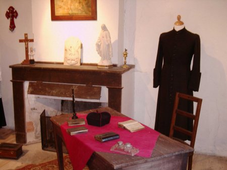
The surrounding of open air museu Maison Payrac
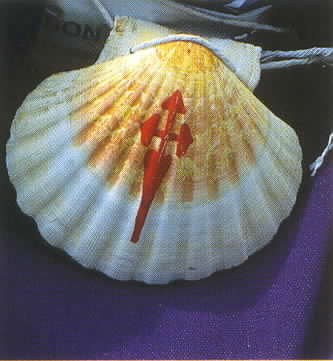
The pelgrimsroute of Saint-Jacques
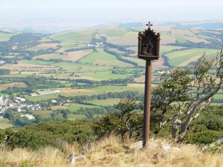
Coming from the direction Arles, the” via Arelatensis” is one of the three big routes chosen by pilgrim to travel towards Saint-Jacques-de-Compostelle. This road, which was frequently visited in the Middle Ages, crosses the Haut-Languedoc via Saint-Gervais-sur-Mare, Murat-sur-Vèbre, Anglès, Boissezon, Castres, Verdalle, Dourgne and Sorèze to finally transfer into the via Tolosane. in the direction of the Atlantic Coast. Coming from the valley of the Orb right up until the Sidobre, the route of Saint-Jacques offers pedestrians the possibility to intersect the parc, marching by Le plateau de la Salvetat and enjoying the ever present traditional warm reception.
Means high mount areas
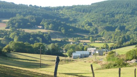
The park stretches from the most South-French spur of the central Massif, an area that gives identity to the Haut-Languedoc; it marks the end of the mountain peak which delimits the Cévennen at the Montagne Noire and passes les grands causses du Larzac. With an average altitude between 400 and 900 meters, the park falls under the means-high mount areas. The monts du Somail (1035 m), l'Espinouse (1148 the m) and du Caroux (1091 m) form a mount peak which follows the dividing line of the down flowing waters which reflect the climatical areas very exactly. The slopes at the south-east-side of this line profit visibly of the Mediterranean climate, because the Atlantic influences remain mainly on the West side. Near L Lacaune lies the Pic de Montgrand (1267 m) which forms the highest point of the park.
Peat Bogs
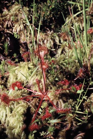
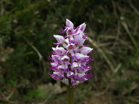
About 170 peat bogs, also called sagnes, were listed in the Park, redivided in the Mounts of Lacaune, Somail, l'Espinouse, Caroux and the Anglès area. Located in a depression or on the bottom of a small valley, these wetlands are maintained through the ages and play an essential part in the cycle of water. The peat bogs constitute an original and fragile medium, a true ecosystem which shelters many vegetable and animal species specific: one meets there thus different mosses (foams), some rare orchids, a Carnivore plant - will drosera -, the linaigrette, the gentian pneumonanthe, the pipit or the viviparous lizard..
The Monts de Lacaune
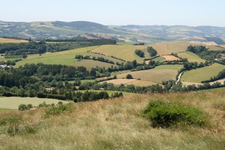
In Brassac , last the old bridge on l'Agout, the winding road goes up until the col de la Bassine. It is a green, fresh and sharp country, between wood and meadows, which opens up gradually in the north towards the Large Causses. To an altitude of 1259 meters, the Pic de Montalet offers a panoramic sight on Haut-Languedoc; with in the distance, the Mediterranean and the Pyrenees... In the forest of Mont Roucous runs a natural spring, which is bottled on the spot, while at Lacaune the invaluable hams are prepared; the Lacaune sheep are to be found in this area... A country of large air where, passing through from Moulin-Mage to Murat-sur-Vèbre, the pedestrian sometimes meets mysterious inscribed menhirs...
Le plateau des lac
Heaths, bilberries or brooms... on these high meadows, close to the Monts du Somail and l'Espinouse, sometimes the snake-eagle glides. Here, between green and blue, in this side-scened landscape, peat bogs and forests, the hikers take again the ancient road of the pilgrims of Compostelle and walk on between La Salvetat and Anglès, along groves in open campaigns... Located at the center of the Park, these plateaus du Haut-Languedoc offer also all pleasures of water...it is like "the sea in the mountains" : lac du Laouzas, de la Raviège, des Saint-Peyres, and not in the least the splendid site of the Saut de Vésoles, where scintillates, from afar, the Mediterranean...
The division of water
Signed by the mountain ridges of the Monts de l'Espinouse and the Somail, the line of demarcation between the Atlantic Ocean and the Mediterranean sea, runs right through the center of the Parc naturel régional du Haut-Languedoc, starting at the east side at Ceilhes-et-Rocozels until Cammazes at the west side. Reenforced by the Jaur, the Orb descends to Béziers unto the Mediterranean Sea, while the Thoré and the Agout join together in the Tarn to pass the bassin of the Garonne while flowing into the Atlantic Ocean. On the RN112, halfway Labastide-Rouairoux and Saint-Pons-de-Thomières, the water miraculously balances between Atlantic and Mediterranean coast, as the col de la Fenille (480 m) marks the very clearly visible climatical border, which supports the identity of the Haut-Languedoc.
.jpeg)
.jpeg)
.jpeg)
.jpeg)
.jpeg)
.jpeg)
.jpeg)
.jpeg)
.jpeg)
.jpeg)
.jpeg)
